Precision Asset Mapping for Municipalities & Utilities
AERIAL ASSET MAPPING
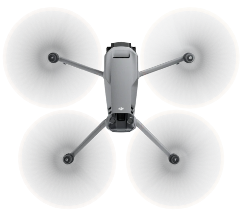
Empower your municipal and utility teams with high-resolution, georeferenced aerial data. Our drone-based mapping services deliver detailed 2D orthomosaics, 3D models, and thermal insights—ideal for asset inventory, infrastructure planning, and maintenance.
Why Use Aerial Mapping?
- Faster Coverage: Survey large areas in a fraction of the time
- Precision Results: Capture sub-inch accuracy using RTK workflows
- Thermal & RGB Options: Identify leaks, hotspots, or vegetation encroachment
- GIS-Compatible Data: Integrate with ArcGIS, AutoCAD, or QGIS
- Safe & Cost-Effective: Eliminate the need for bucket trucks or boots on the ground
Who It’s For
- Public Works Departments: managing roads, signs, and stormwater assets
- Utility Providers: mapping power lines, water mains, or underground access points
- Transportation & Planning Teams: generating elevation data for infrastructure projects
- Environmental Agencies: monitoring encroachments or erosion zones
What’s Included
- 2D orthomosaic maps (georeferenced)
- 3D digital surface models or point clouds
- Thermal overlays (where applicable)
- RTK-enabled accuracy reporting
- Delivery in TIFF, JPEG, KMZ, LAS, or PDF formats
Aerial Asset Mapping FAQs
- What accuracy and resolution can we expect?
Centimeter-level mapping under good conditions; ground sampling distance is tuned per scope (typical sub-inch to a few cm/pixel). See related: RTK & GCPs - Do you use RTK and GCPs?
Yes. We acquire with RTK and can add ground control points for tighter absolute alignment where required. Details - What deliverables do we get?
Orthomosaics, elevation models/point clouds, and optional thermal overlays, plus a shareable web viewer and PDF summary. Deliverables · How files are delivered - Will this slot into our GIS/CAD?
Yes. Common outputs include GeoTIFF, MBTiles, JPEG/KMZ, LAS/LAZ, and OBJ, compatible with ArcGIS, QGIS, and AutoCAD. Processing & software - Coverage & turnaround?
Projects in the Washington Metropolitan Area with standard delivery in 2–3 business days; rush options available depending on scope. Turnaround · Service area · Typical cost
Map Your Infrastructure with Confidence
Modernize your mapping workflows and asset management with scalable, accurate aerial data collection.

